TEAM BUILDING IN PHU YEN
Location: 560km north of HCM City (1 hour by plane, 10 hours by train/ car), 120km from Nha Trang (2½ hours by car).
Introduction: Phu Yen is a rich and peaceful land leaning against the Truong Son range with many mountain branches spreading out to the sea. Phu Yen is famous for the mounts right in the city (Nui Nhan, Chop Chai), many emerald lagoons along the seaside (Cu Mong, Xuan Dai, O Loan, Vung Ro), small coastal islands (Hon Chua, Hon Chua Island). Hon Yen, Mai Nha), pristine beaches (Bai Xep, Bai Mon, …) and countless majestic rocky capes (Da Dia, Mui Dien, Mui Yen, …). Phu Yen is also famous for historical sites such as No-number boats in Vung Ro, An Tho citadel, Mui Dien lighthouse, Mang Lang church, etc. promising to be attractive destinations for visitors of all ages. The ideal sightseeing season to Phu Yen is from late January to early September every year.
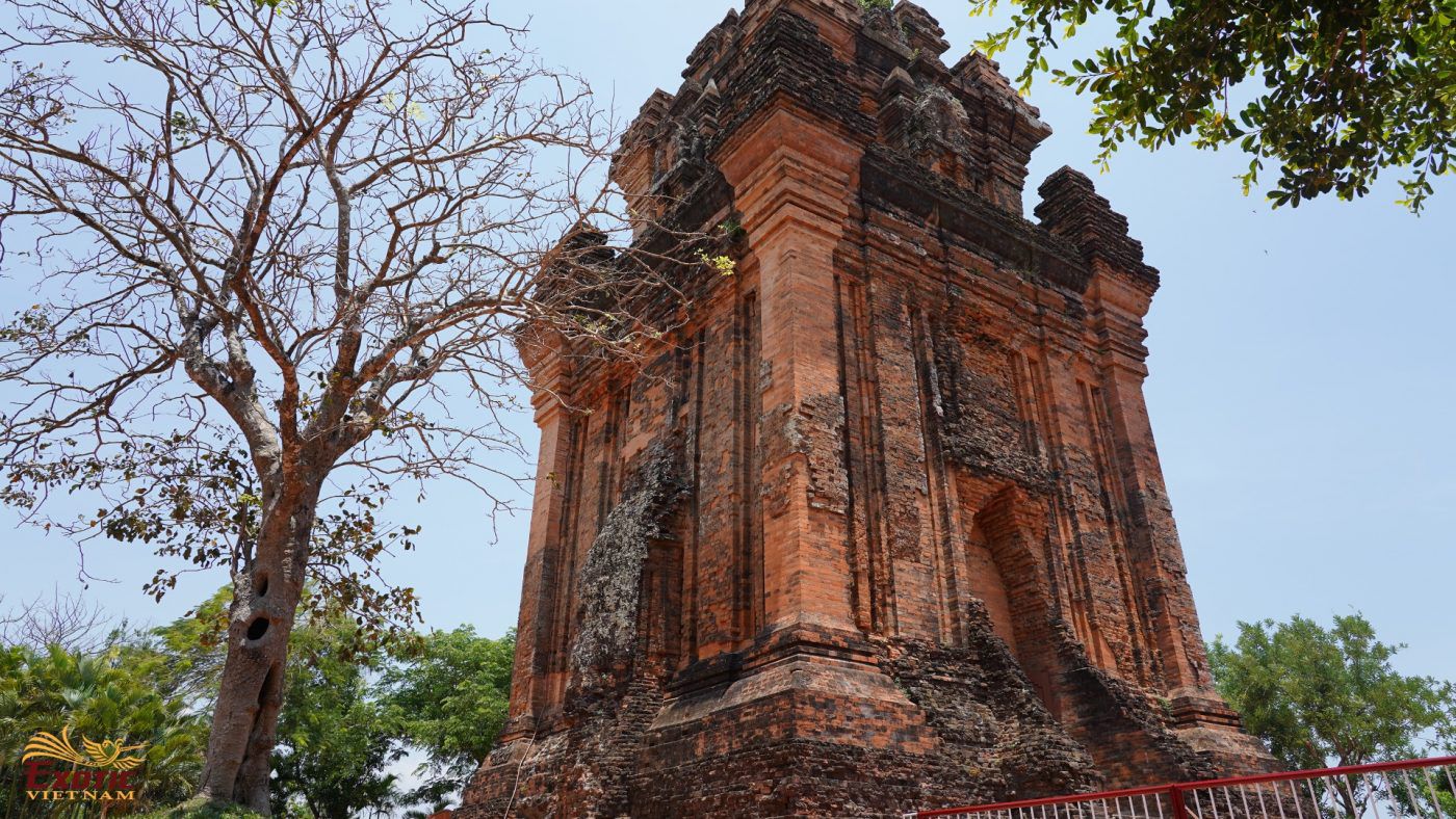
Nhan Tower
On hilltop right at the heart of Tuy Hoa city, there is an ancient tower of Cham people which is called Thap Nhan (Nhan Tower), constructed at around late 11th Century. This is one of the biggest towers of Cham people along the Central Coast. The tower has square structure with each side of 10m and the height of 23.5m including 3 main parts: the base, body and roof. The tower has the door forwarding the east. The landscape of Nhan Mountain – Da Rang river is considered as the symbol of Phu Yen.
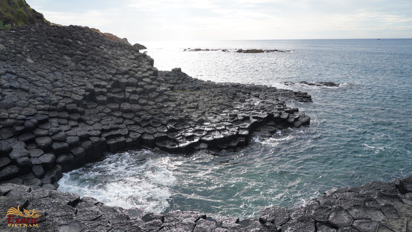
Da Dia Reef
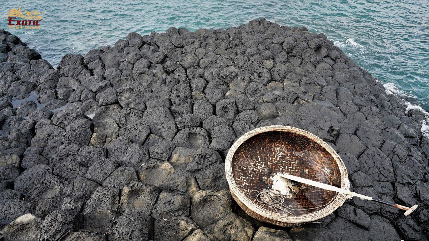
About more than 40km away from Tuy Hoa city, Da Dia reef is the most unique and interesting beehive-like formations along the coast of Viet Nam. It has the width of approximate 50m and the length of more than 200m which is a natural beauty spot which is rarely found. Stones here are placed in columns with hexagonal shapes (6-sided), stacked alongside one another. Each column varies in height from as short as 30cm right up to lengths greater than 2 metres. Some rise to the sky vertically while others lay on their side on top of each other. No definite count has been made of how many stones are in the collection, but there is suspected to be over 35’000 piece.
Geologists said that Da Dia Reef crystallized within a basalt lava flow, slowly cooling. When the lava flow begins to cool from the inside, it contracts and fractures. When cooling rates are fairly uniform, with the heat from the lava escaping at regular intervals, it contracts and fractures fairly evenly, leading to tall, well-developed, generally hexagonal basalt columns.
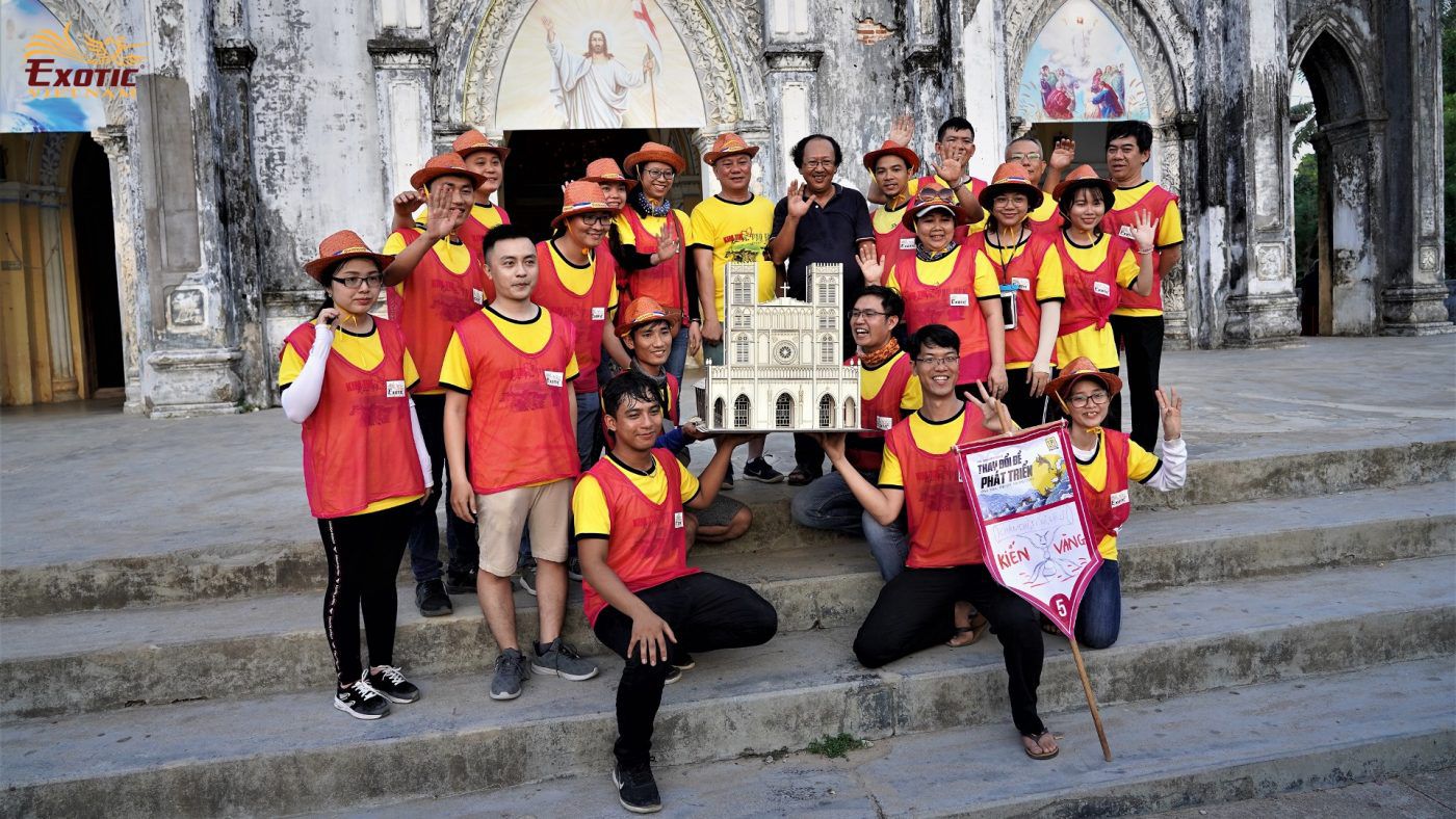
Mang Lang Church
35 km from Tuy Hoa, Mang Lang Church was built in 1892 by Joseph de La Cassagne, a French priest, who was called Co Xuan by the locals. Built on an area of 5,000 sq.m, the ancient church in grayish color, surrounded by green gardens, looks magnificent against the blue sky background. The church was designed in the Gothic architectural style with two steeples. Inside it features colorful stained glass windows, wood-paneled ceilings and ancient lanterns. The two sides of the church’s lobby were designed in an eye-catching pyramid style.
To the right of front yard is a built-up hill, where you can explore an interesting exhibition in its cave inside. The first book to be printed in the modern Vietnamese script is housed here. Written by Alexandre de Rhodes, a French Jesuit missionary, the book was printed in 1651 in Rome, is the catechism book “The eight-day teaching”. The cave also displays pictures of the church in the early days of construction and the documents about the life of Saint Andrew Phu Yen, a Catholic protomartyr of Viet Nam, executed in 1644.
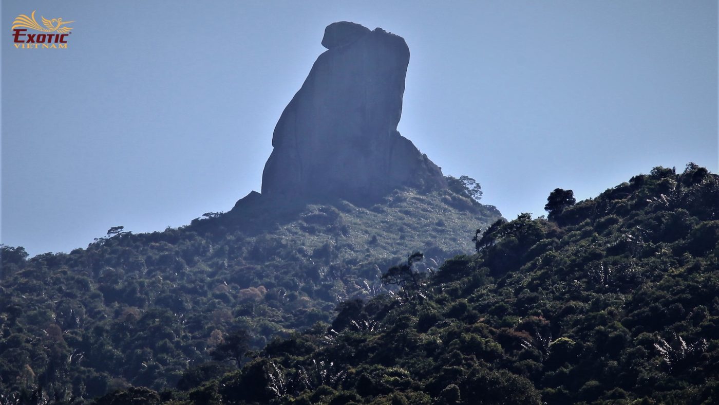
Mount Da Bia
About 35km from Tuy Hoa City to the south, Mount Da Bia (or called Thach Bi Son) has the height of 706m which is imposing in the North of Ca Pass range. On the top, there is a giant stone block with the height of 76m with particularly-interesting shape. From long time ago, Da Bia is considered as a holy mount with the name of Lingaparvata (it means Linga – the mountain god who was the embodiment of Siva God in the belief of Cham people), in the ancient book of China, it is transcribed as Lang-gia-bat-bat-da. Mount Da Bia is closely linked to many legends. Especially the event in 1471, King Le Thanh Ton on his way to reclaim the land to the South, the king carved letters in the big stone block at the top of the mountain. From that time, the mountain is called Mount Da Bia (Stone Stele) or Thach Bi Son.
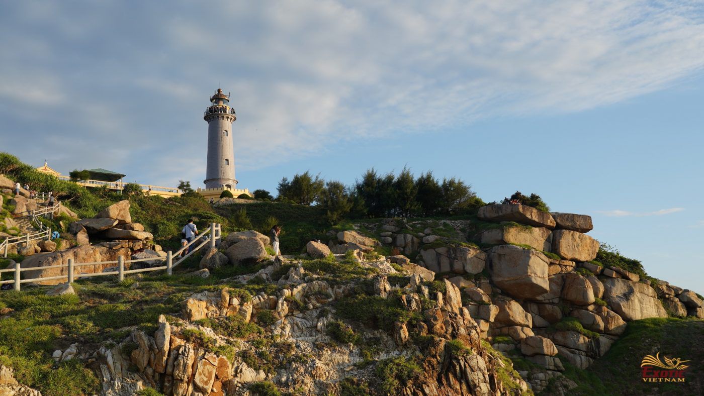
Cape Dien
About 35km from Tuy Hoa City to the south, Cape Dien (or Mui Dien) is also known as Mui Dai Lanh, Mui Ke Ga, Cap Varella. In 1890, the French built a lighthouse for the purpose of navigating ships operating in the sea into Vung Ro Bay. Through the war, the lighthouse was ruined and was re-built and operated again in 1995. This is one of eight lighthouses with the age of over 100 years among 79 active lighthouses in Viet Nam. Cape Dien is gradually considered as the second furthest point to the East, after Cape Doi in Van Ninh, Khanh Hoa and is one of the places to welcome the first dawn on the mainland of Viet Nam.
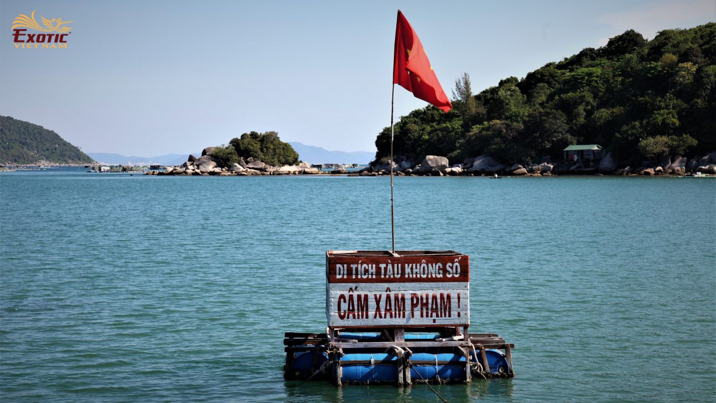
Vung Ro Bay
About 35km from Tuy Hoa City to the south, Vung Ro Bay covers an area of 1,640ha of water surface and the depth enough to receive the ships with capacity of more than 5,000 tons which is covered by mountain ranges of Ca Pass, Mount Da Bia, Hon Ba in 3 directions of north, east, west. Especially, Vung Ro was one of important secret ports of Ho Chi Minh Trail on sea where received hundreds of tons of weapons transported by ships without ID number from the North to support the Southern battlefield in the years of the Viet Nam War. The transportation to Vung Ro in the period from 1964 – 1965 was a historical event that shows the tenacious fighting spirit of soldiers and people of Viet Nam.
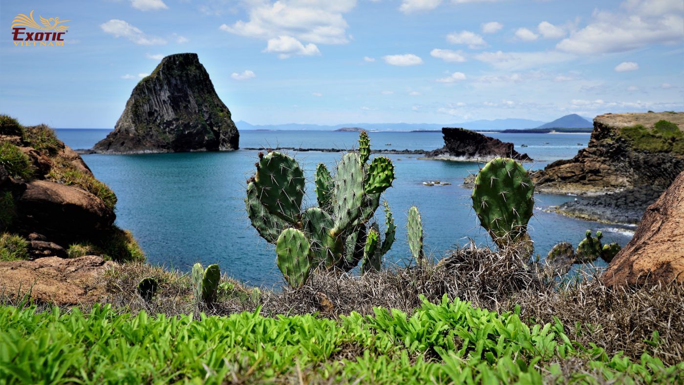
Islands in Phu Yen
Long Thuy beach is about 7km north of Tuy Hoa city. It is considered as a famous and beautiful beach of Phu Yen with white sand, pure water and small waves. From this place, the visitors can travel on ship to visit many islands around where have beautiful scenery with diversified sea ecology.
- Hon Chua: About 3km from the mainland, this place remains untouched. Chua Island is surrounded with coral reefs including many kinds of colorful, diverse and rich coral. Coming to Chua Island, tourists will be immersed in the fresh air with blue sea, white sand, sunshine and can join fishermen to catch fish, squid, sea urchins, etc.
- Hon Mai Nha: About 3km from the mainland, this is the largest island in Phu Yen province with an area of 130ha. The island offers travellers the opportunity to go swimming, relax on the golden sand and trek to hilltop to get a panoramic view of grassland with lots of cactuses and wild trees and waves slapping against uniquely shaped rocks.
- Hon Yen: About only 300m from the mainland, Yen Island can be reached by foot when the tide is low. It’s a place that you can merge yourself with the sea, winds and the sun. Yen Island not only owns colorful coral reefs, spread over an area of 30ha but also has its unique aquatic system.
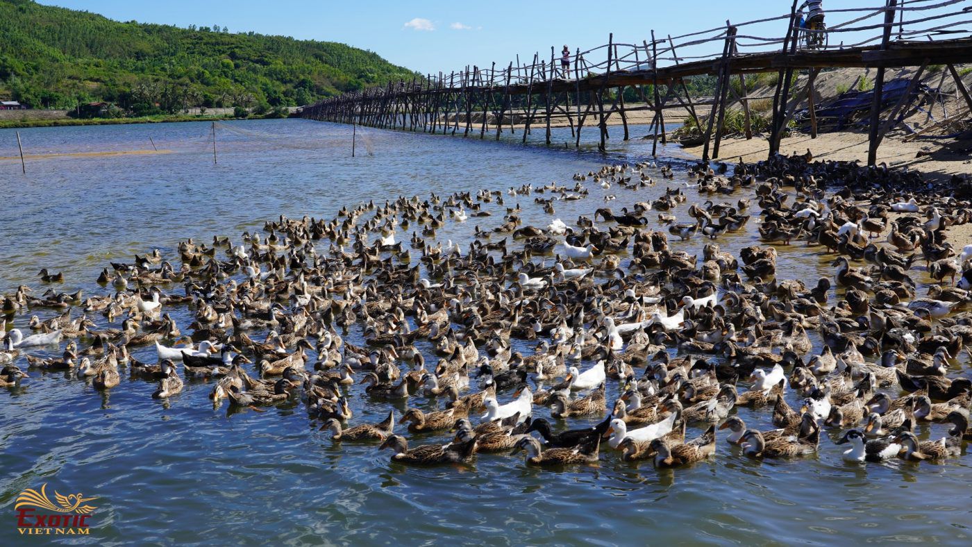
Ong Cop Bridge
About 35km from Tuy Hoa, Ong Cop Bridge crosses Ky Lo River. It’s the longest wooden bridge in Viet Nam with a length of 570m and 1.5-1.8m wide. This small bridge is only for pedestrians & motorbikes from the two banks. The bridge was built by local people in 1998. Every year it has to be repaired or even newly re-built it due to the flood season washing away the bridge. Nowadays, the bridge is the adornment of the rustic landscape of the Phu Yen lagoon area and becomes a very famous check-in place for young tourist.
